
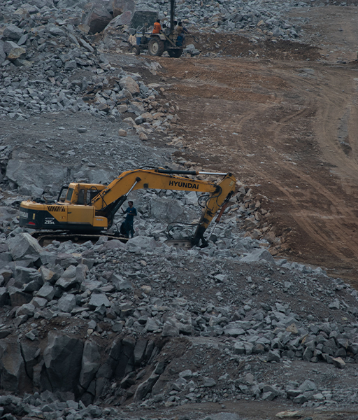
Aerial Site Mapping
- Home
- Aerial Site Mapping
Case Study Information
- Project name :Creative template design
- Category :Graphics design / Web design
- Client :Guddu Talukdar
- Complete date :01 April, 2022
- Skills :Photoshop / Illustrator
Aerial Site Mapping
High-resolution aerial mapping and topographic insight to support planning, documentation, and progress tracking.